Lighthouse Park Hike | Vancouver
What better way to spend a sunny autumn Saturday than on a coastal forest hike? The temperature has dropped massively in Vancouver since I arrived last month, and many days are grey or rainy. We even had snow the other day! So when the sun is shining (and I’m off work), it’s great to be able to fit in some local hiking around Vancouver. The Lighthouse Park hike I did is the circumference of the park more or less, which I got from All Trails. It took around two hours and I got the park in the early afternoon. There are various other routes through the park for different options.
Getting to Lighthouse Park
Lighthouse Park is on the North shore, further west than West Vancouver. It’s easy to reach by public transport though, as I’m not ready to drive yet! There’s a bus from Downtown (no. 250) that goes past the park en-route to Horseshoe Bay. Lots of other people on the same bus as me were clearly heading for the same location. The route goes through Stanley Park and across the Lions Gate Bridge, which I had yet to cross until that day. I always took the Seabus when I was staying in North Vancouver the week before! It made for some great views of the harbour, which, as I’ve quickly learned, is always full of cargo ships.
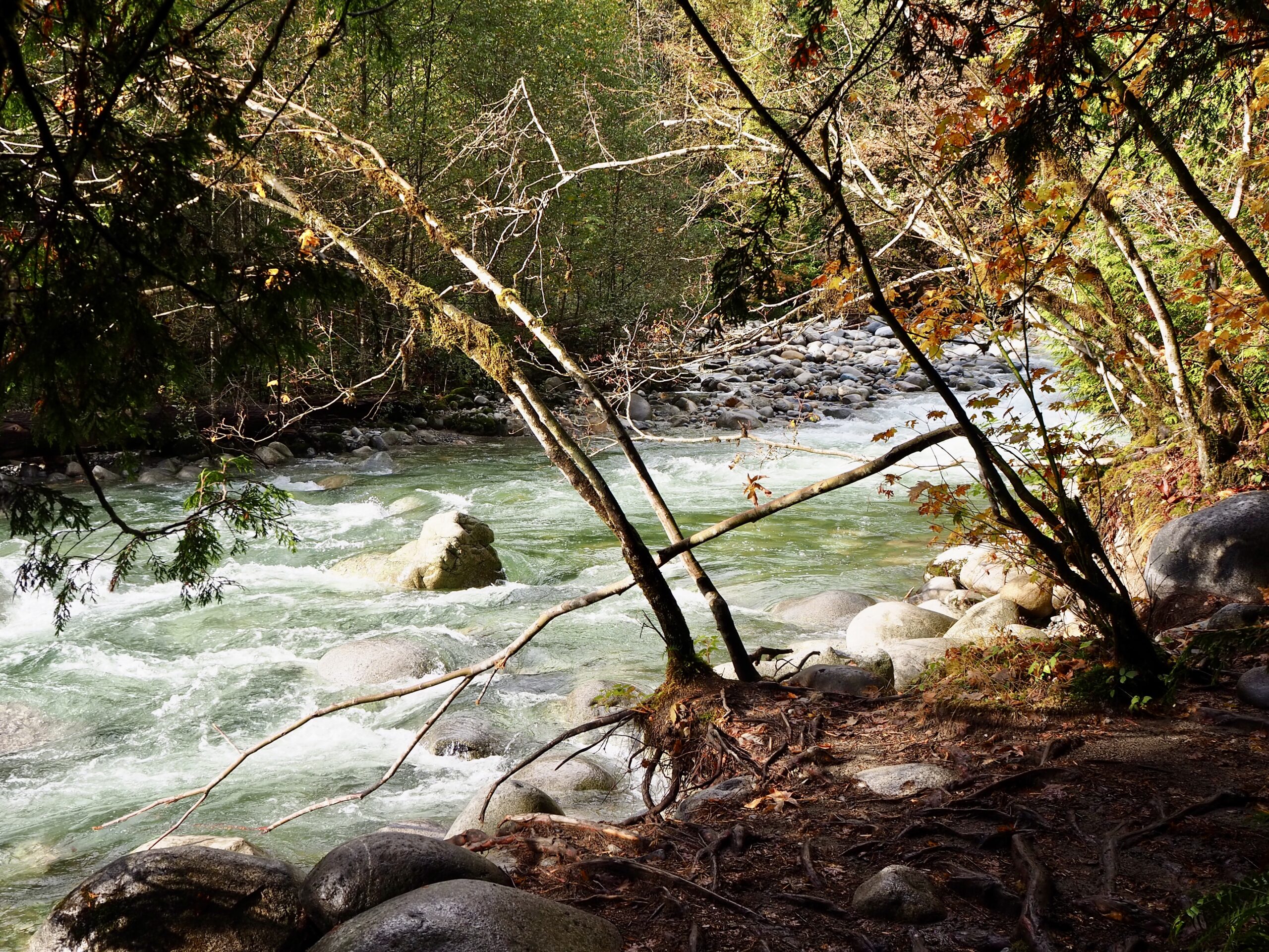
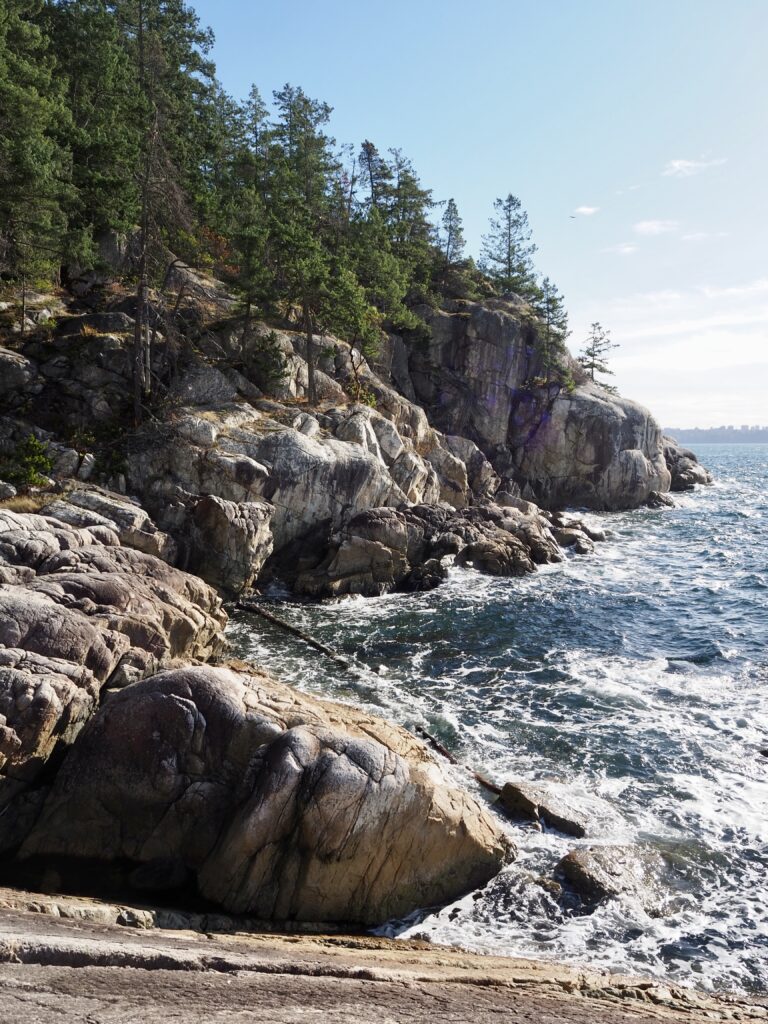
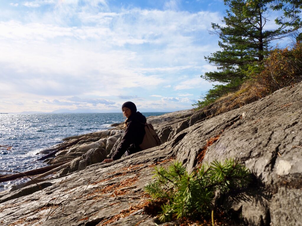
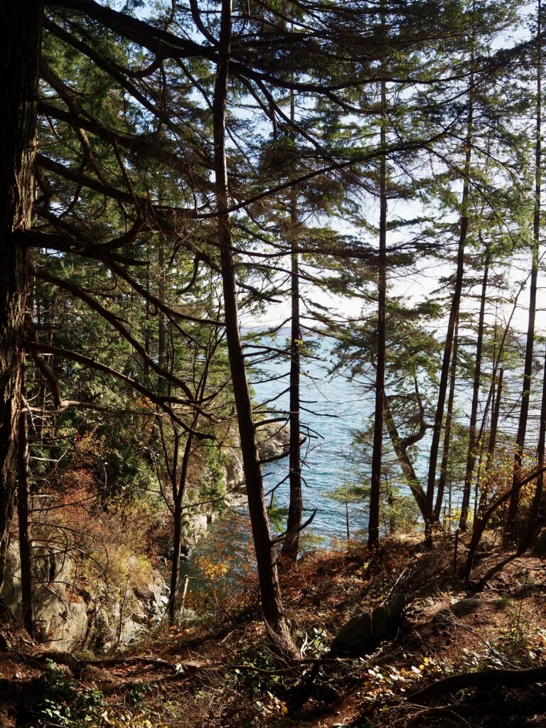
Once off the bus, it was a short walk down a side road to reach the park’s entrance, where there is parking and portaloos. I took the first path on my right, heading towards Juniper Point. There was a fairly stormy night recently, with lots of wind, and the damage to the forest was evident! Within minutes of starting my hike, I had to climb over and under fallen trees and branches over the path. A trend which continued all day! I was glad to be wearing hiking boots and not trainers. Most of the trails are within the forest and some parts were more clearly marked than others. I had to check the map a few times to ensure I hadn’t gone wrong!
Juniper Point
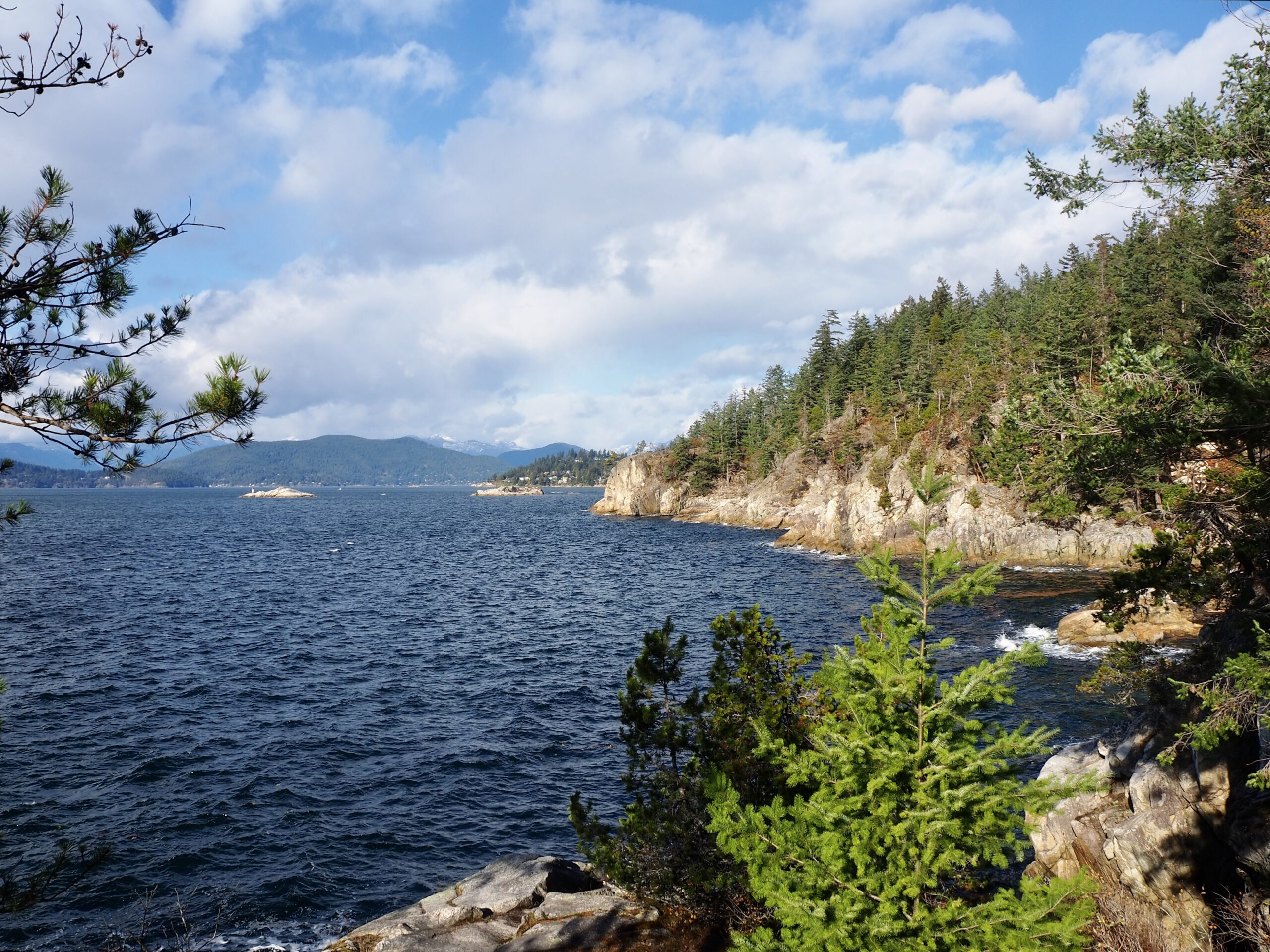
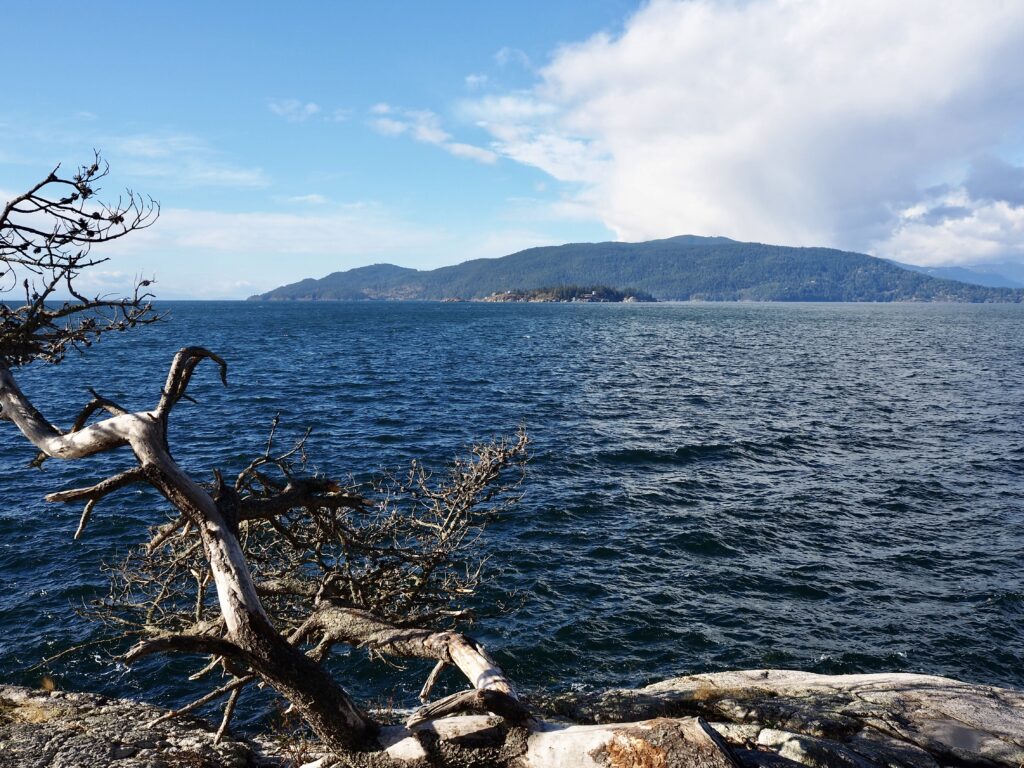
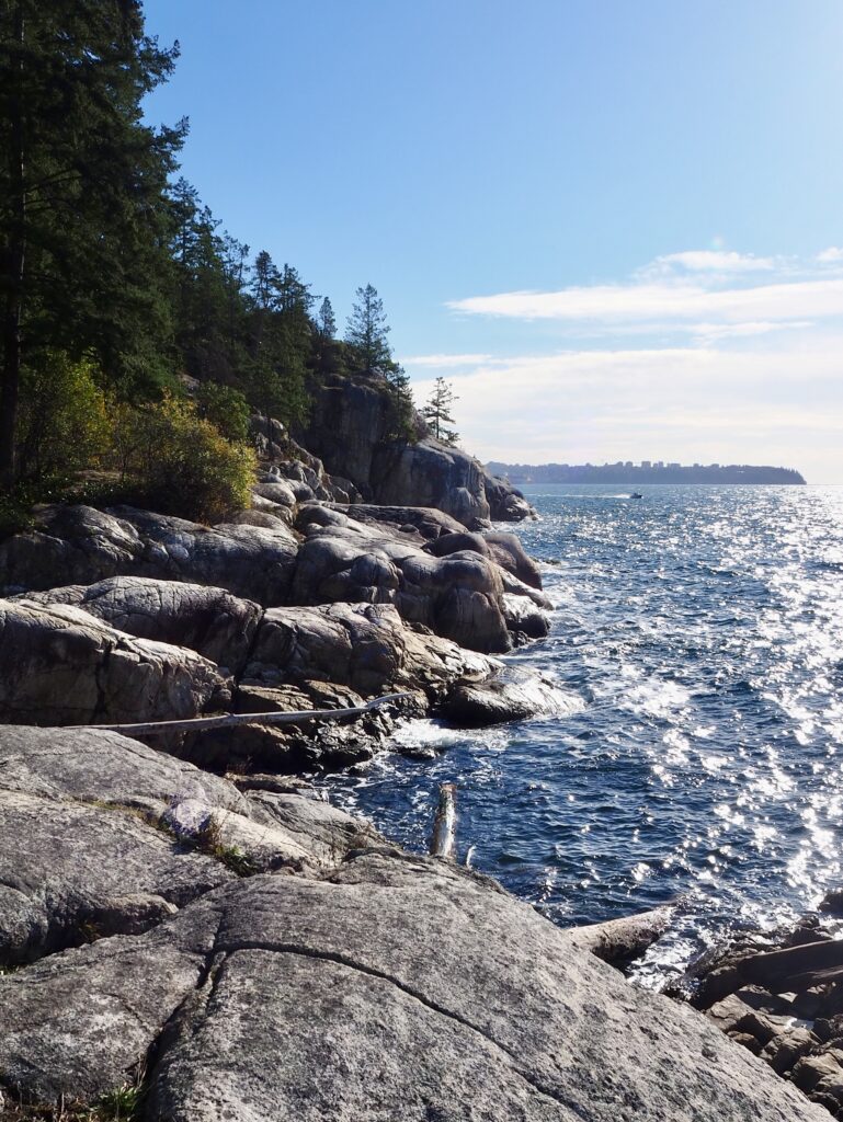
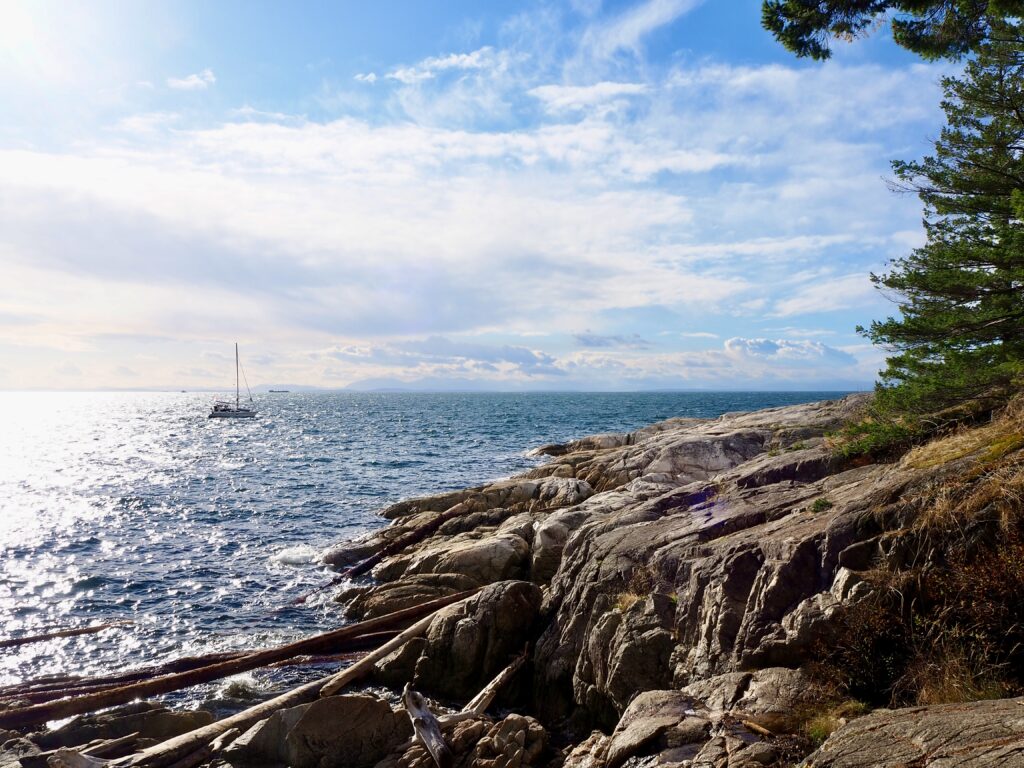
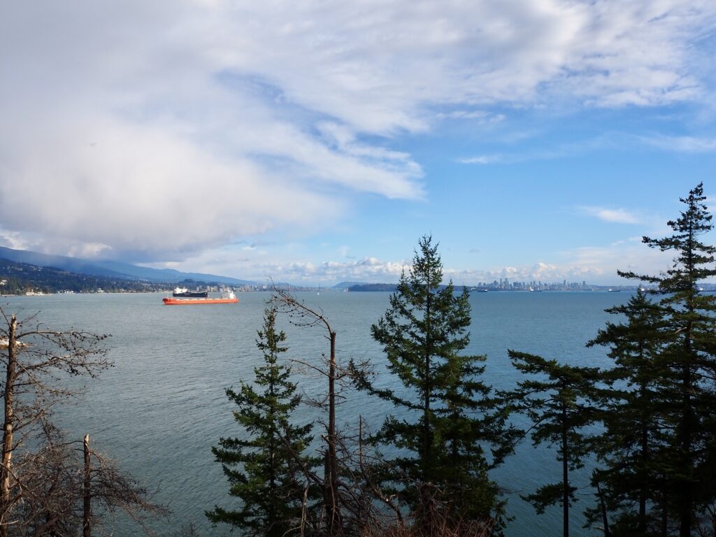
The first leg of the hike went downhill pretty quickly, snaking through the forest to reach the coast. Juniper Point was the first of several rocky outcrops clear of the trees, offering spectacular sea views. As this was on the west side, I could see Bowen Island and up into the Howe Sound from here. The mountains have started to get snow on their peaks too! I was also reminded of just how big Canada is, as Bowen Island looked far bigger than I had imagined form the map. This has been a continual theme since I arrived in Canada!
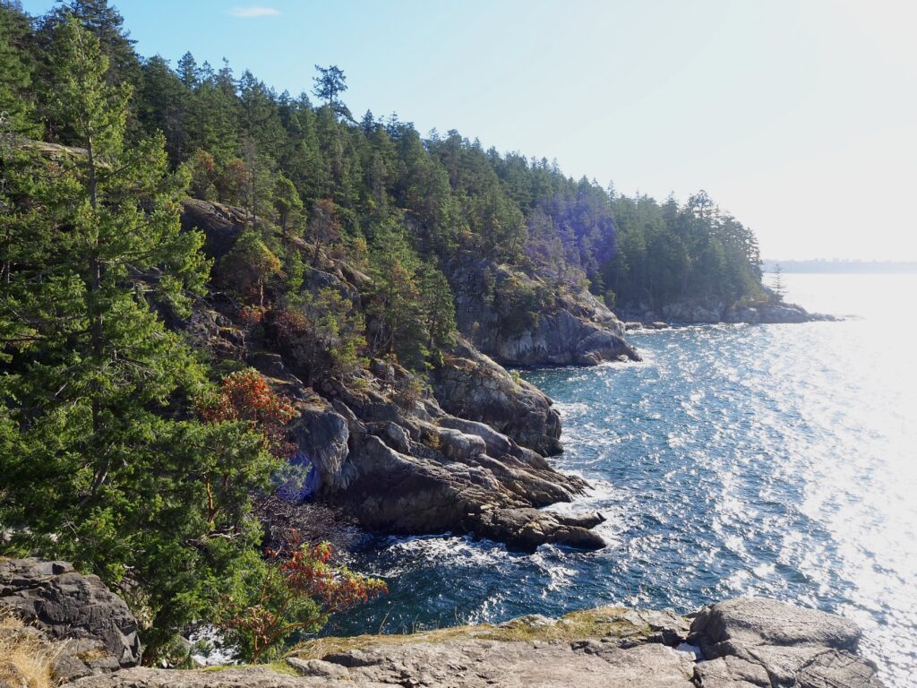
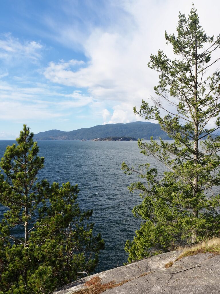
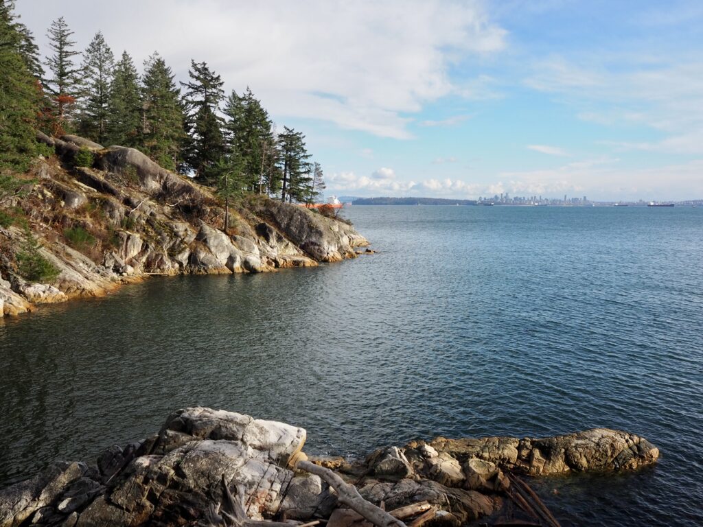
From there, there was a bit more up and down as the route went inland and out again. Some of the ascents were pretty steep, and with wet rocks from the rain and fallen trees to climb, it wasn’t easy going at times! I then hit a couple more viewpoints around the coast. As I continued south and east, the views turned towards the city of Vancouver across the Burrard Inlet. The sun was shining bright from the south though, so I was mainly squinting into it really! I could make out the distant skyline of Vancouver Island on the horizon though. The outcrops themselves were gorgeous too, with wide, flat rocks to clamber over and the thick pine forest just beyond them, set against the deep blue ocean and the waves crashing on the shore. I’ve always been drawn to the coast and this was no exception!
Point Atkinson Lighthouse
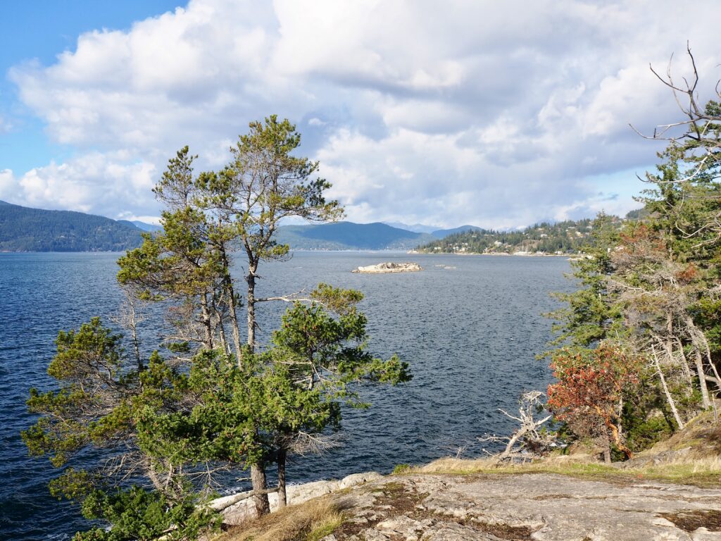
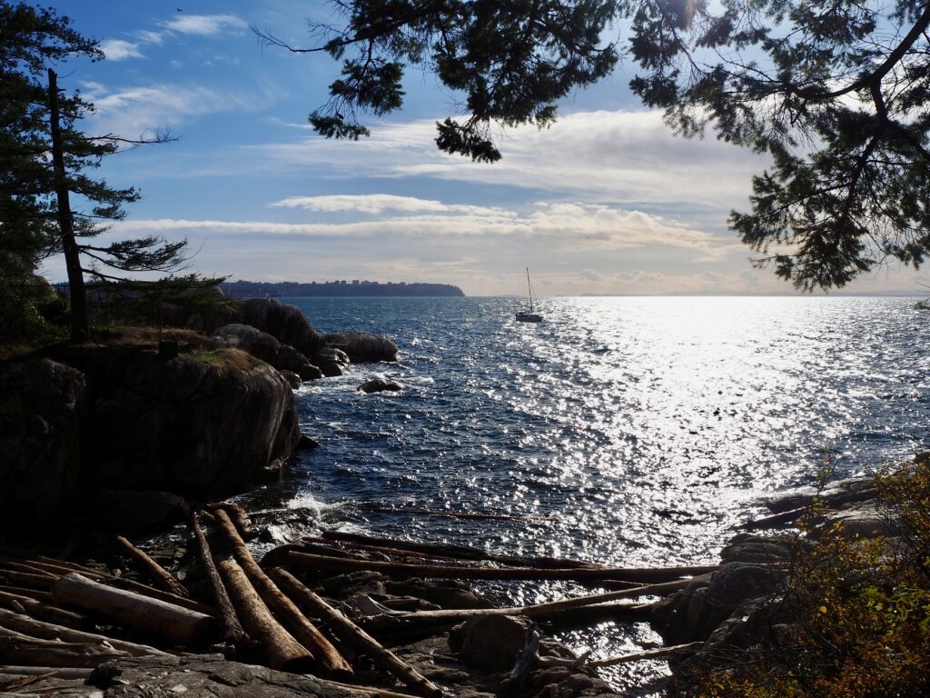
Continuing my anti-clockwise loop, I then headed down a slope to a small beach. There wasn’t much sand to see, as it was all filled with driftwood. I was able to sit on the flat rocks sloping down to the bay for a moment, though. The sun was still in my eyes of course, but I could see across to the Kitsilano area of Vancouver, and a sailboat came bobbing past to really finish off the scene!
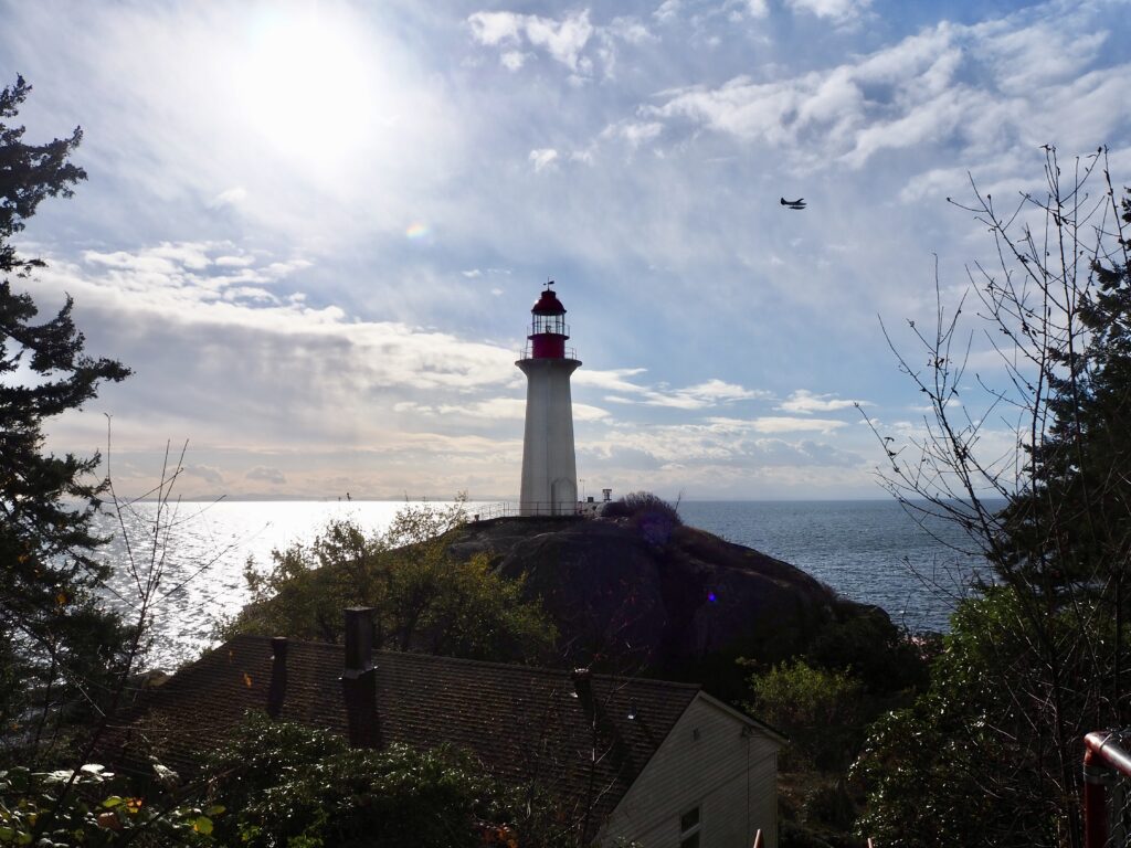
Then, at last, I came to the park’s eponymous lighthouse. From subsequent research, I think there is a better viewpoint of it just west of the lighthouse, but I somehow missed this. I first wound up atop another rocky outcrop, though this was further inland. The pine trees partially blocked the view, but I eventually spotted Point Atkinson Lighthouse between them. I then found another trail around the hill to get closer, though the lighthouse is fenced off at a certain point. There are a few other buildings in the area, and some information boards about it history during WWII. They used the park as a defensive lookout point, in case of Japanese invasion after Pearl Harbour. The lighthouse is actually over a hundred years old now! With the sun behind it, I mostly only saw its silhouette, but the seaplane flying by at that exact moment made for a nice scene.
Arbutus Knoll and Starboat Cove
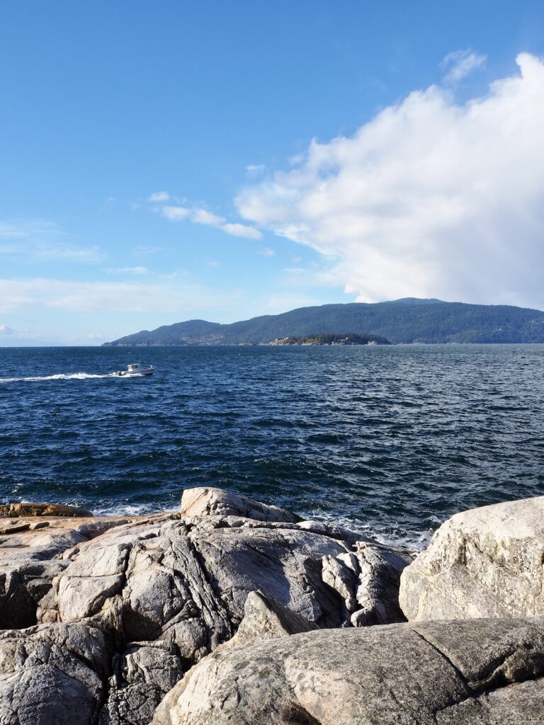
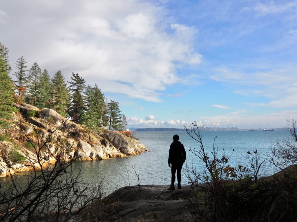
The next viewpoint I came to was Arbutus Knoll. Now on the eastern side of the park, I was looking towards Vancouver and its harbour. I was so grateful for the clear, blue skies at this point, because I could see absolutely everything from here. The Downtown skyline, Stanley Park, Lions Gate Bridge, North Vancouver, the rest of Vancouver, and even Burnaby Mountain in the distance. Against the blue ocean, it was a very impressive sight! Plenty of other people thought so too, judging by how busy this spot was.
Yet, just a few minutes further along, I came to Starboat Cove and had it completely to myself! It was another bay filled with driftwood mainly, but there were rocks to the side and a small bench where I sat for a while. I could see most of the same view as Arbutus Knoll, with only North Vancouver more obscured by the coastline. Being a sunny Saturday, the park was pretty busy for the most part, including dogs and children. However, this spot seemed to go somewhat overlooked, as it was incredibly peaceful. It was only after sitting for a good 15 minutes or so that other people appeared just as I was leaving again.
Forest Walking
That was also the last of my coastal views for the day. I could see one more, Eagle Point, on the map, but the path down to it was badly blocked by fallen trees. It looked the worst blockage of any I’d seen all day, and after lots of scenic viewpoints already, I opted to save myself the hassle of climbing these ones. My route then started to curve back inland again. And, what goes up must come down! I had a rather steep climb uphill again, including stairs and leaf-covered slopes. There are a few points where the trails diverge in this area too and I must have picked the least busy one! I was entirely alone for the last stretch and the trails weren’t super clear here, so I nearly went in circles at one point!
Eventually though, I emerged on one of the main paths again, right beside the car park. My actual hiking time was about 2 hours, but I was in the park for closer to 3 hours. Lots of photo and viewpoint stops! From here, it was just a couple of minutes back to the bus stop to return to Vancouver. Lighthouse Park is a beautiful choice for a hike, especially in the autumn sun. A lot of the mountain hikes are covered in snow by this time of year, but Lighthouse Park is a great option for a year-round hike. I appreciate it being easily accessible by public transport too!